
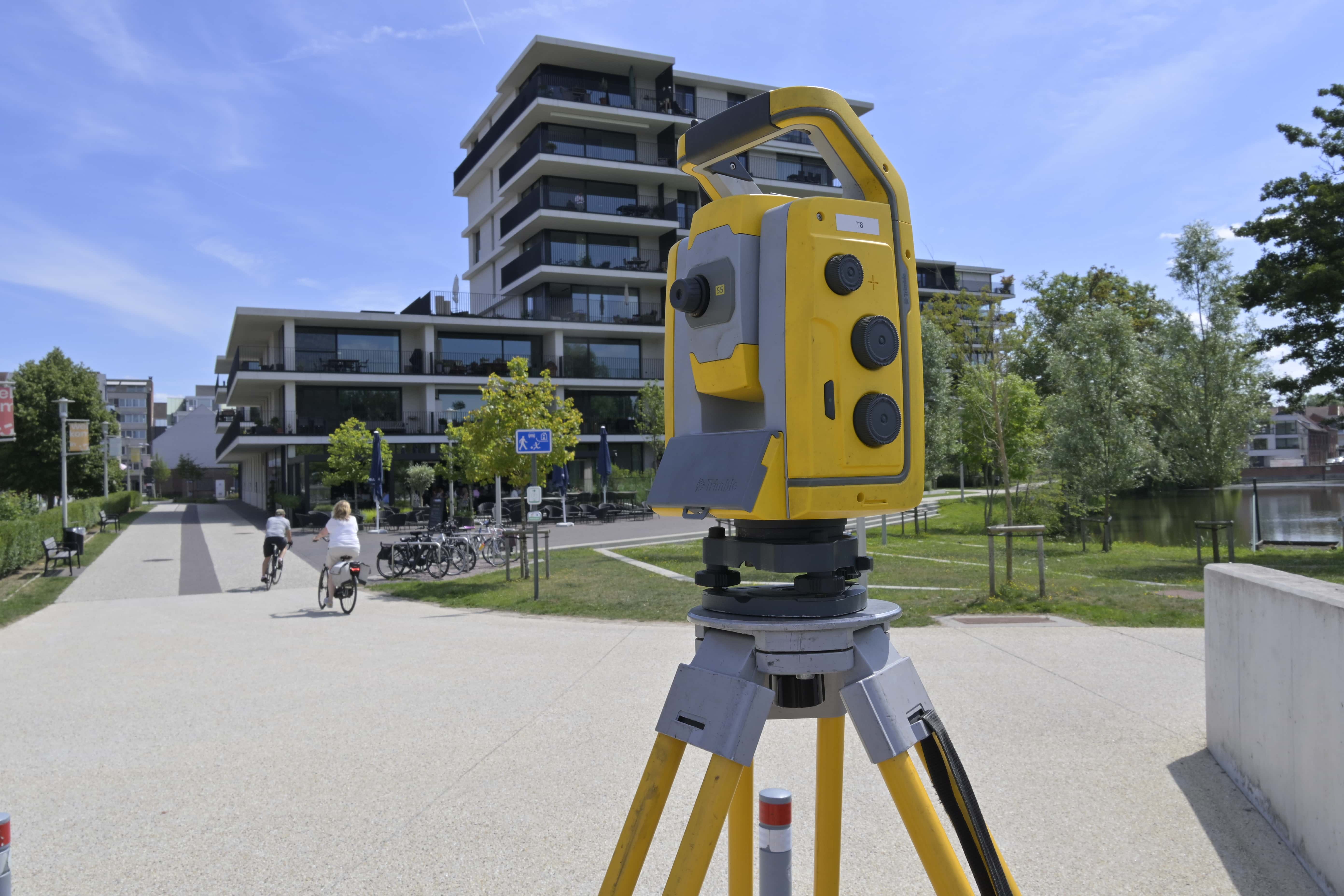
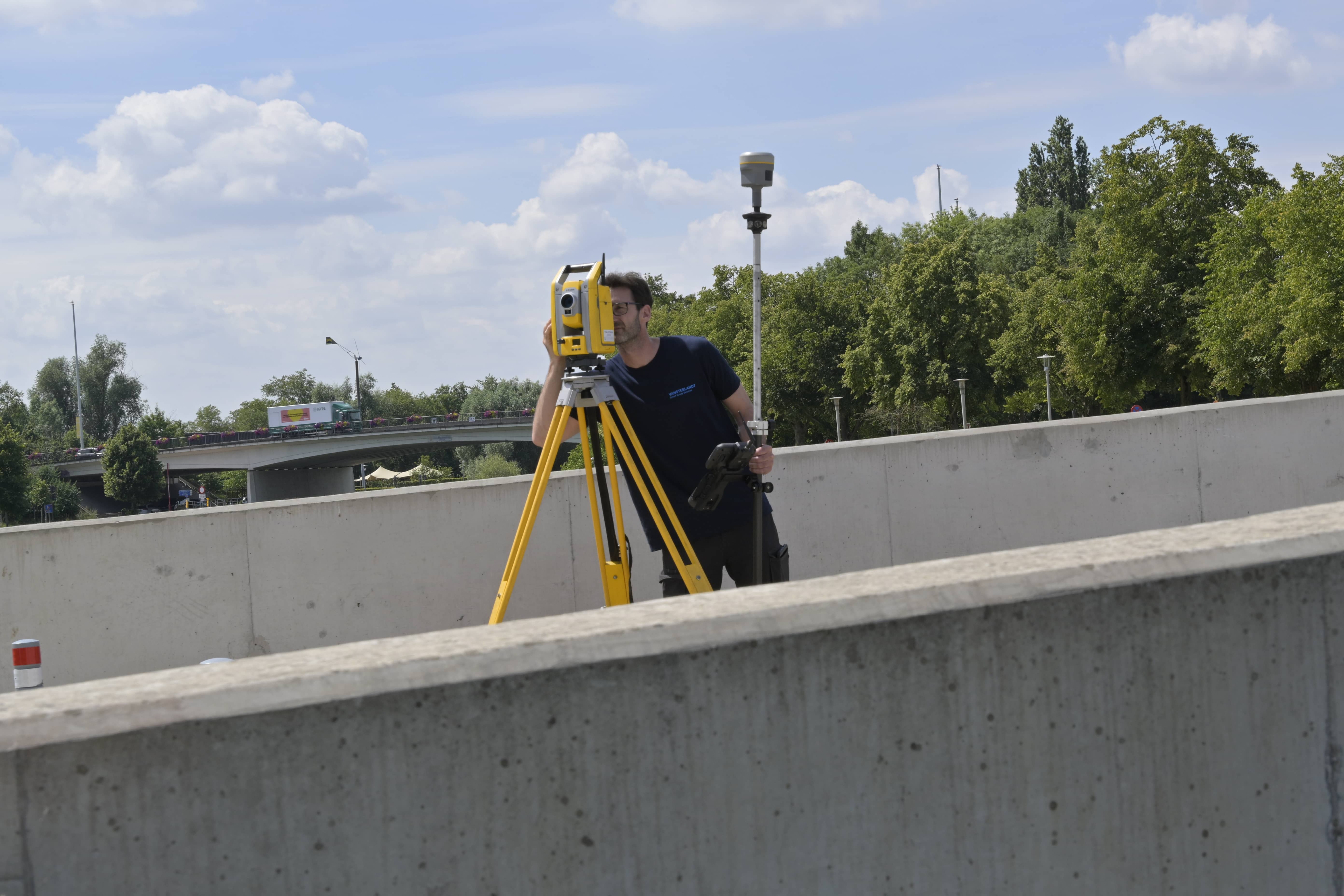
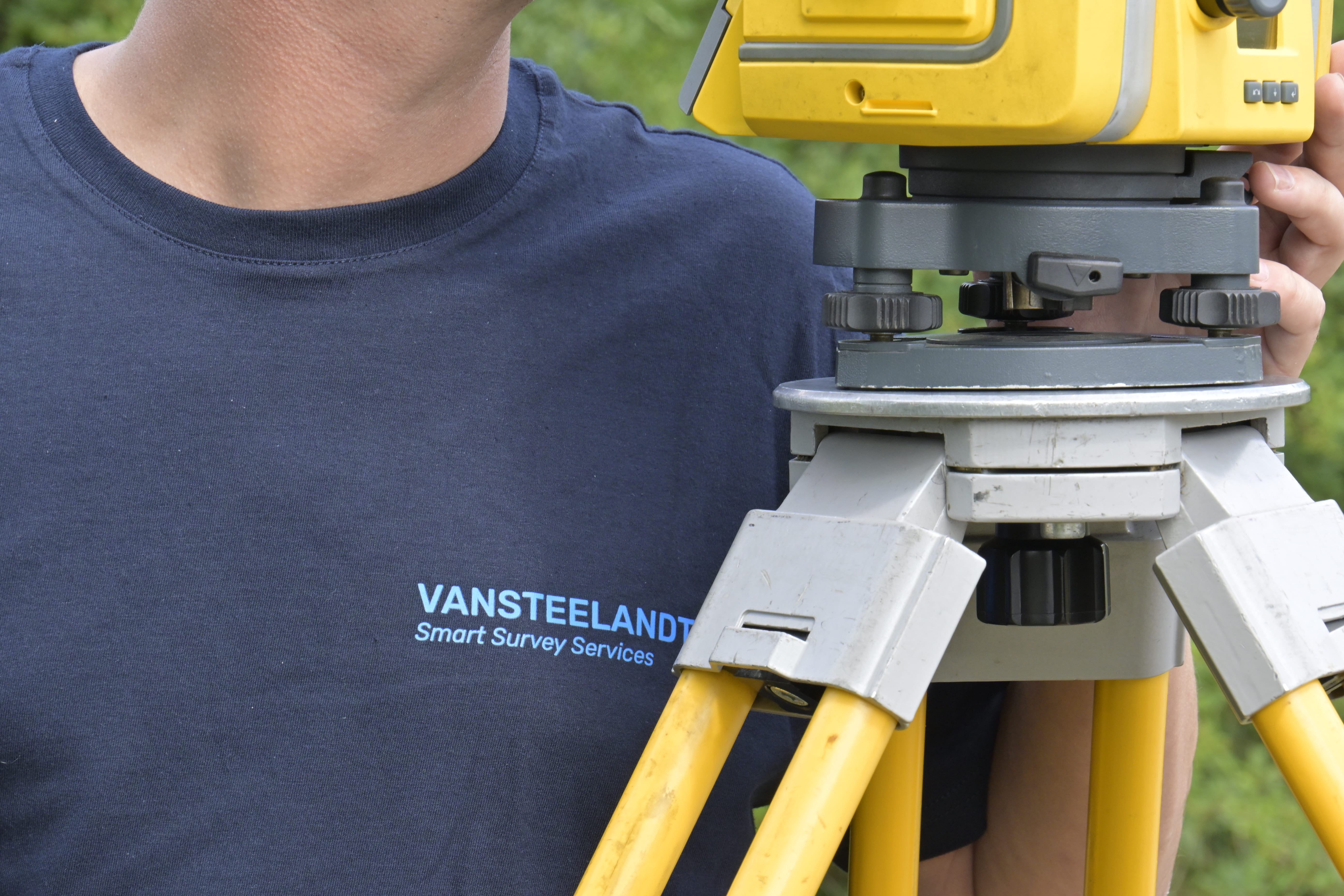
For a Survey Report (PV), we carry out a combination of a parcel survey and a boundary investigation, performed by a certified surveyor-expert. We determine the current boundaries, compare them with existing survey plans and all sources that can provide evidential value for the legal parcel boundary. Where necessary, a subdivision or lot split is also prepared, with new parcels and pre-cadastral registration. The result is an official boundary survey report that can serve as the basis for notarial deeds, building permit applications or to definitively establish property boundaries. This service provides certainty and prevents disputes or ambiguity about where your parcel begins and ends.
Delivery in digital formats (PDF, DWG or other CAD format) plus printed copies if required. The plan is drawn up and signed by a certified surveyor-expert. In the case of subdivision, the plan is suitable for pre-cadastral registration and any registration in cadastral systems.
We always deliver a legally correct Survey Report (PV), drawn up by a certified surveyor-expert, including full quality control and in accordance with the agreed planning and scope.


A Survey Report (PV) officially and legally establishes the boundaries of a parcel in a watertight manner, so that no dispute can arise regarding ownership or use.
The boundaries are measured precisely and professionally by certified surveyor-experts, preventing errors or misunderstandings in sales, subdivision or construction projects.
Ideal for various situations: sale of a parcel, construction plans, parcel subdivision or the official establishment of new property boundaries.

By 2040, Flanders must be asbestos-safe. Our aerial imagery and Deep Learning flag which roofs are suspected per address, so we can work together efficiently towards a healthier and safer living environment.
read more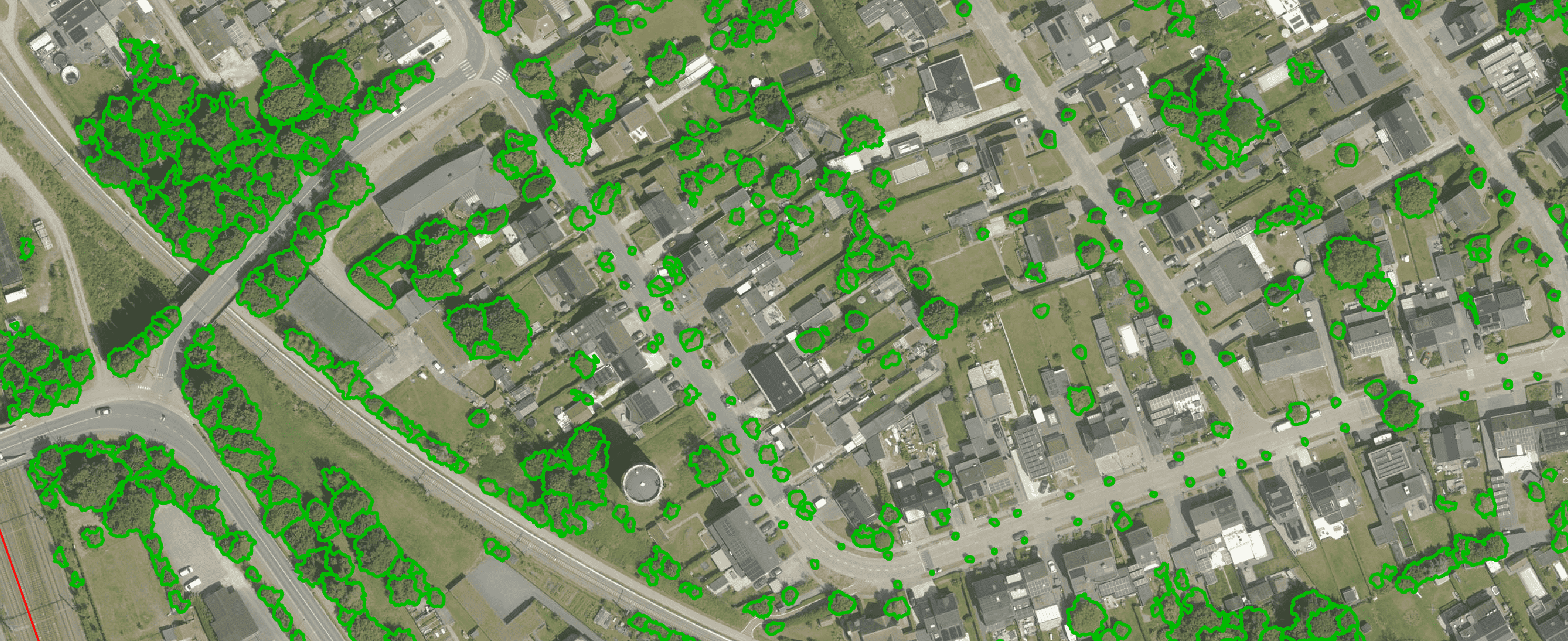
Get a complete overview of trees in your area, including individual characteristics such as crown area and height, and use the data to apply the European 3-30-300 rule for optimal urban greening. Ideal for municipalities, planners and green space managers who need accurate, scalable and policy-relevant geospatial data
read more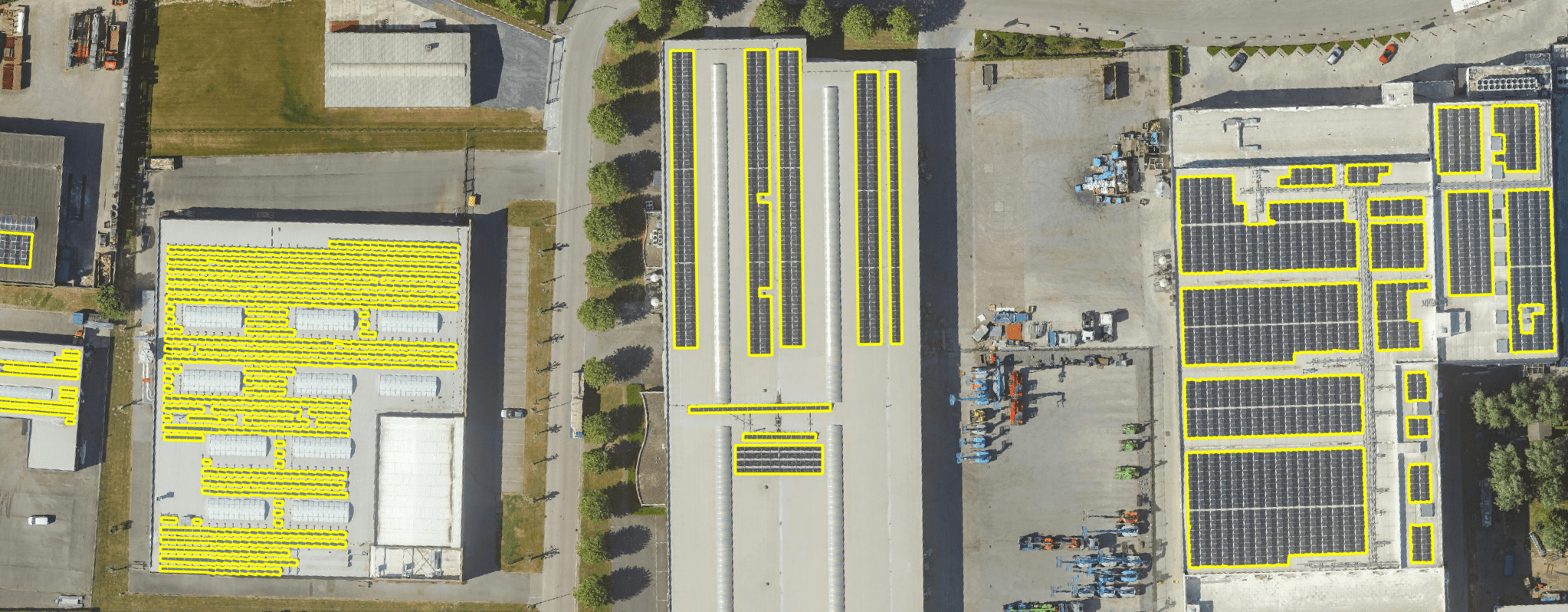
Get a detailed map layer of solar panels at building or cluster level, including surface area calculations per cluster. Ideal for anyone working with geospatial data who wants insight into energy potential and roof utilisation.
read more
Get a detailed map layer of the public space with classification by object and material. Ideal for anyone working with geospatial data who needs more detail than existing reference data provides.
read more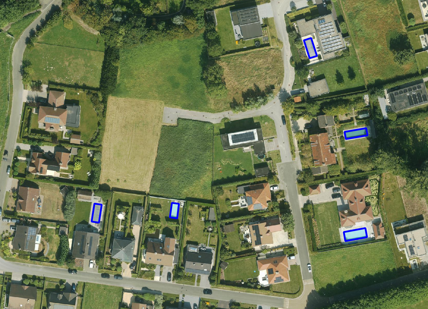
Get a detailed map layer of swimming pools at parcel or object level, including surface area calculations. Ideal for anyone using geospatial data for policy analysis, permits or trend research.
read more
Get a complete inventory of all road markings within your project area, classified into objects, lines and surfaces and linked to the correct underlying surface. This gives you objective data to support maintenance planning, reporting and policy decisions around mobility and asset management.
read more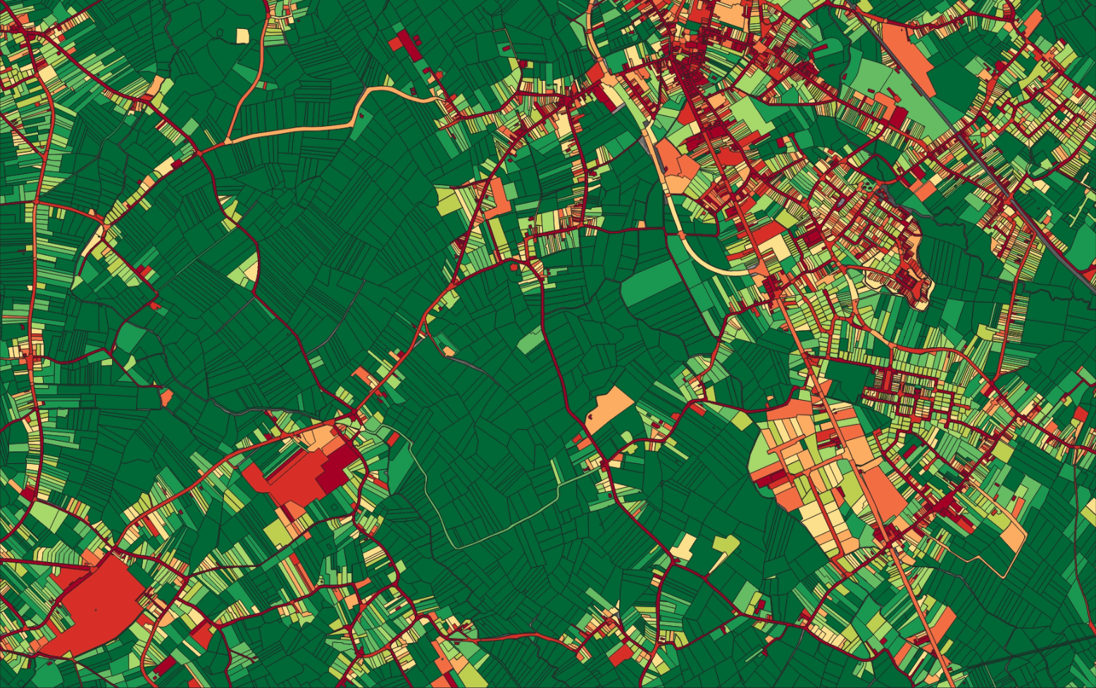
Our paved/unpaved surface maps provide a complete and objective overview of where the ground is paved or unpaved, in both private and public space.
read moreEvery possible element of a cemetery is mapped. The result is a clear and organised plan that supports efficient and transparent cemetery management.
read more
Do you need a specific inventory that is not yet in our offering? We develop custom inventories tailored to your project. Thanks to our experience with aerial imagery and Deep Learning, we can detect and map almost any object type. Get in touch to discuss the possibilities.
Get in touchBy 2040, Flanders must be asbestos-safe. Our aerial imagery and Deep Learning flag which roofs are suspected per address, so we can work together efficiently towards a healthier and safer living environment.
read moreGet a complete overview of trees in your area, including individual characteristics such as crown area and height, and use the data to apply the European 3-30-300 rule for optimal urban greening. Ideal for municipalities, planners and green space managers who need accurate, scalable and policy-relevant geospatial data.
read moreGet a detailed map layer of solar panels at building or cluster level, including surface area calculations per cluster. Ideal for anyone working with geospatial data who wants insight into energy potential and roof utilisation.
read more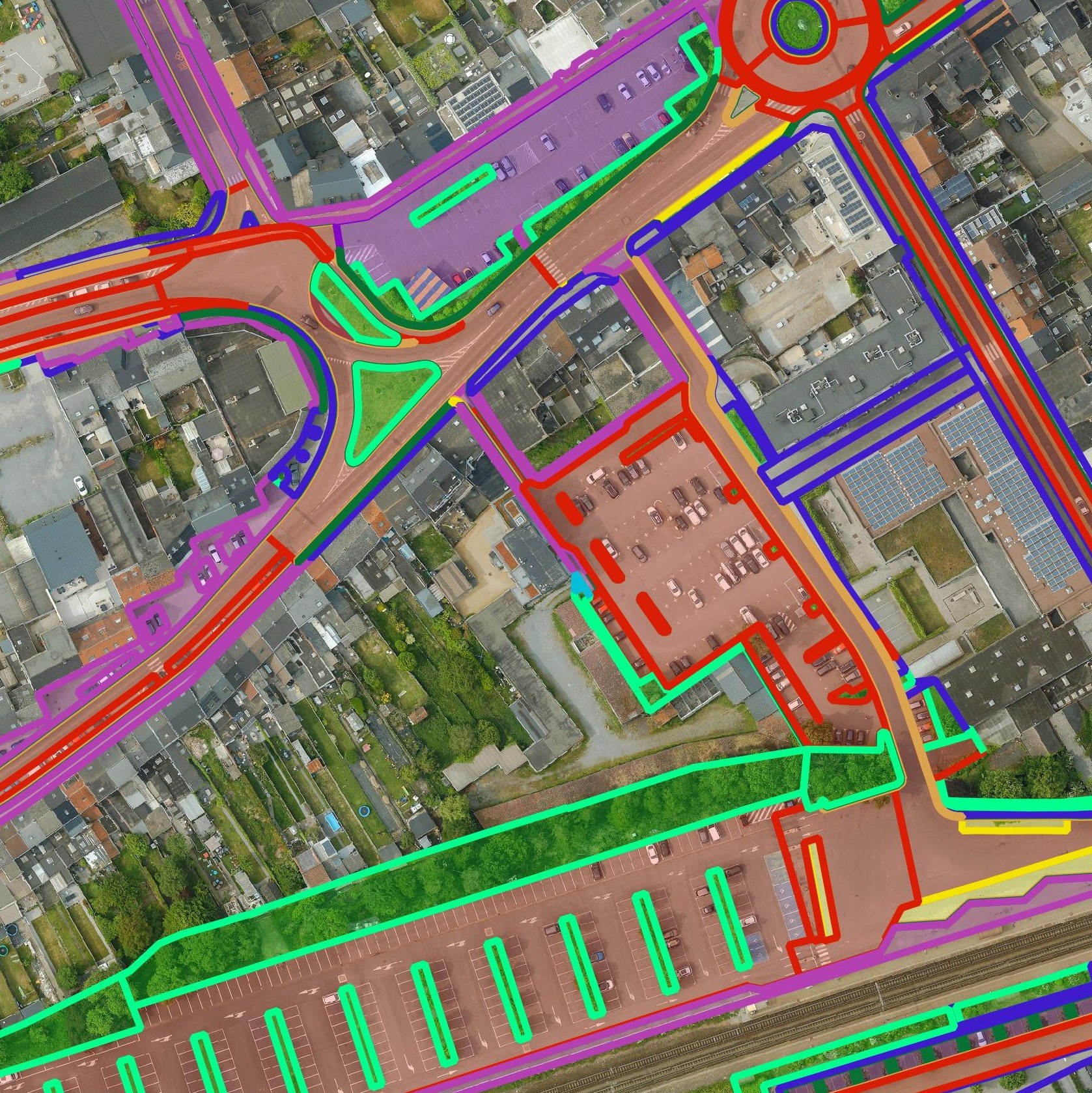
Get a detailed map layer of the public space with classification by object and material. Ideal for anyone working with geospatial data who needs more detail than existing reference data provides.
read moreGet a detailed map layer of swimming pools at parcel or object level, including surface area calculations. Ideal for anyone using geospatial data for policy analysis, permits or trend research.
read moreGet a complete inventory of all road markings within your project area, classified into objects, lines and surfaces and linked to the correct underlying surface. This gives you objective data to support maintenance planning, reporting and policy decisions around mobility and asset management.
read moreOur pavement surface maps provide a complete and objective overview of where the ground is paved or unpaved, in both private and public space.
read moreEvery possible element of a cemetery is mapped. The result is a clear and organised plan that supports efficient and transparent cemetery management.
read moreDo you need a specific inventory that is not yet in our offering? We develop custom inventories tailored to your project. Thanks to our experience with aerial imagery and Deep Learning, we can detect and map almost any object type. Get in touch to discuss the possibilities.
Get in touch
Get certainty about your parcel boundaries for construction, sales or garden works and prevent problems in the future.

Work with objective and binding parcel demarcations that avoid delays and disputes in larger projects and legally strengthen your development.

Use Survey Reports (PV) as a reliable basis for spatial planning files and public works, with clear and transparent boundary agreements.
Get certainty about your parcel boundaries for construction, sales or garden works and prevent problems in the future.
Work with objective and binding parcel demarcations that avoid delays and disputes in larger projects and legally strengthen your development.
Use Survey Reports (PV) as a reliable basis for spatial planning files and public works, with clear and transparent boundary agreements.

