Precision in every detail, speed in every project.
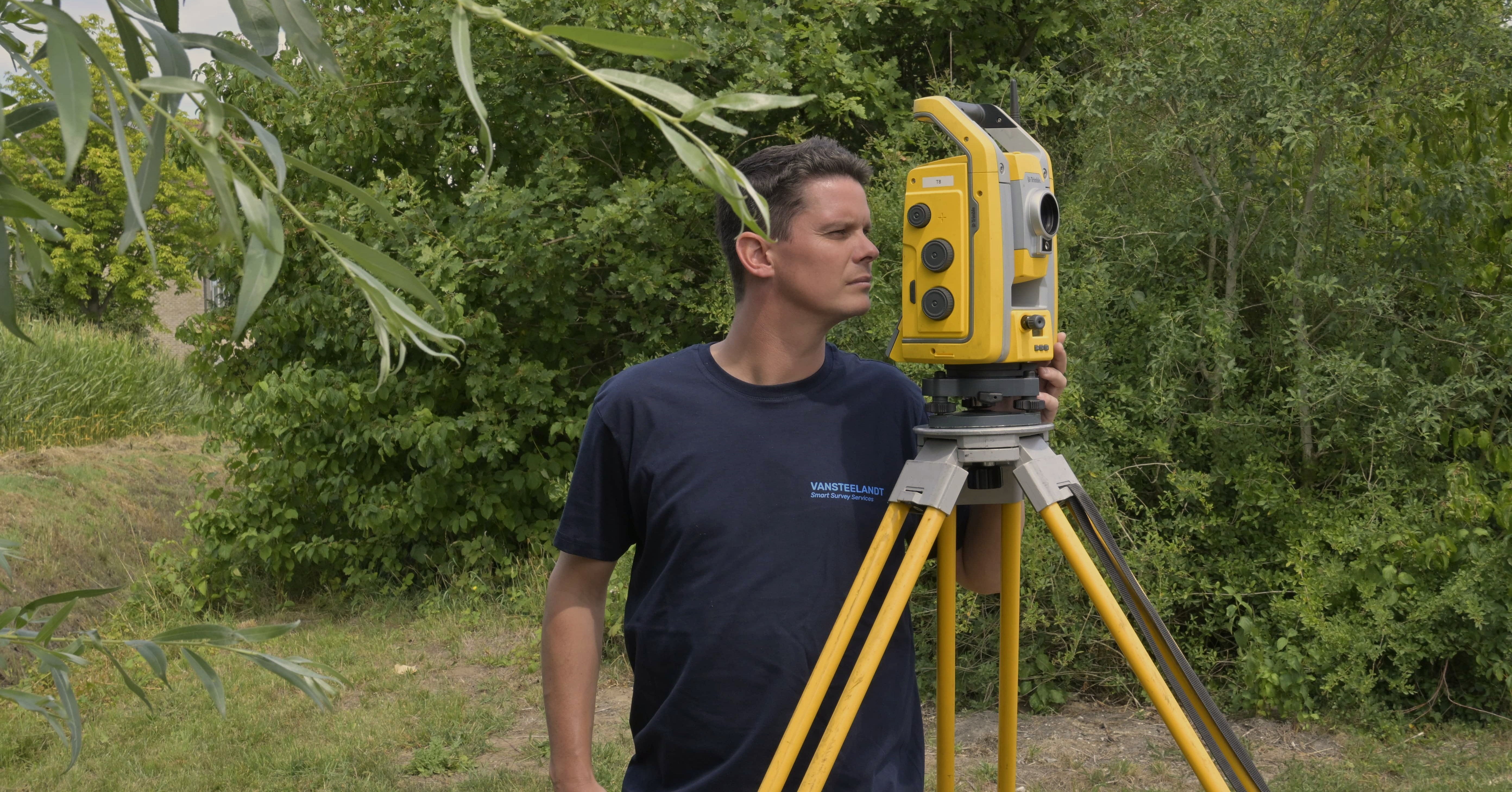
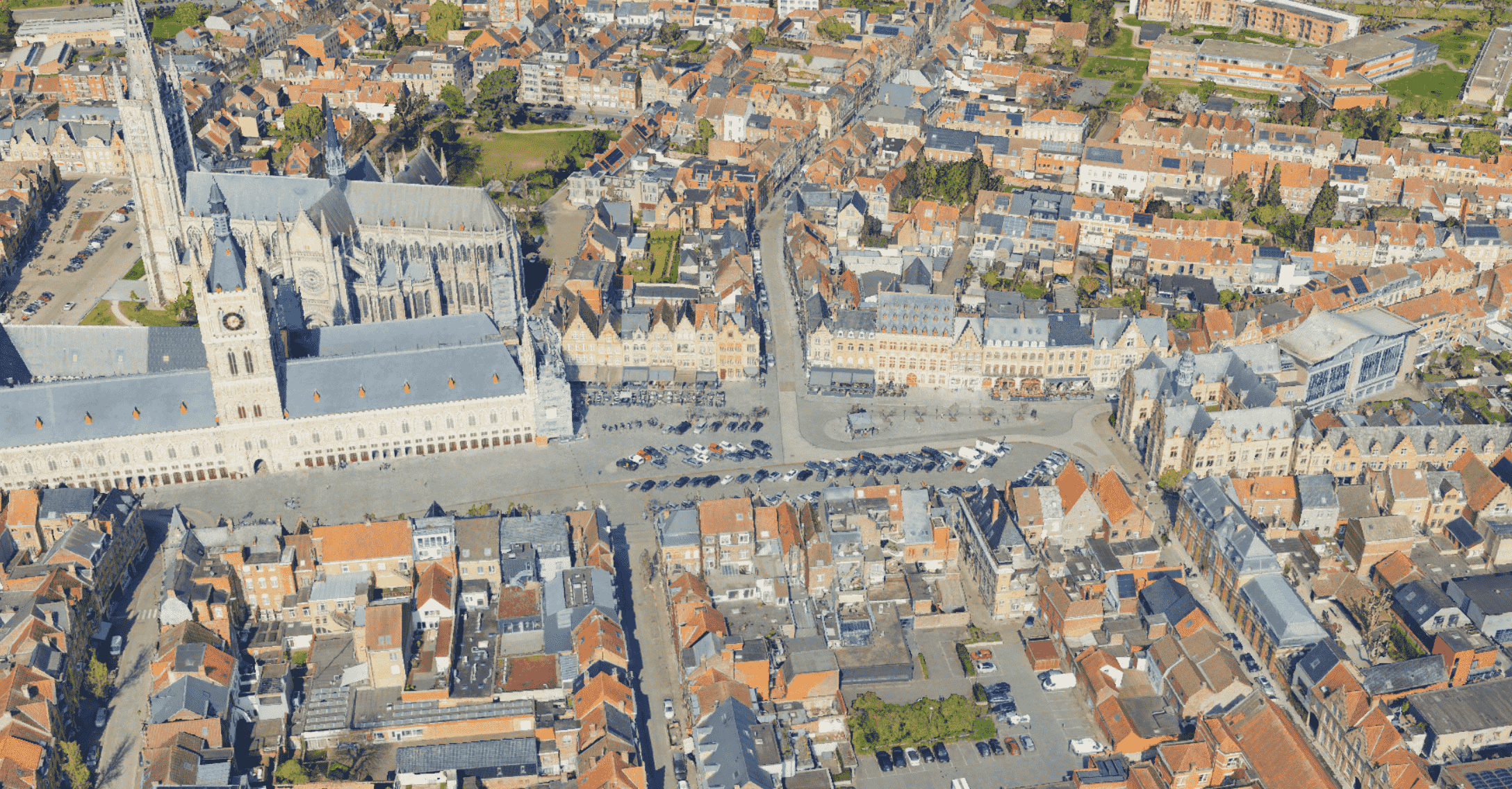
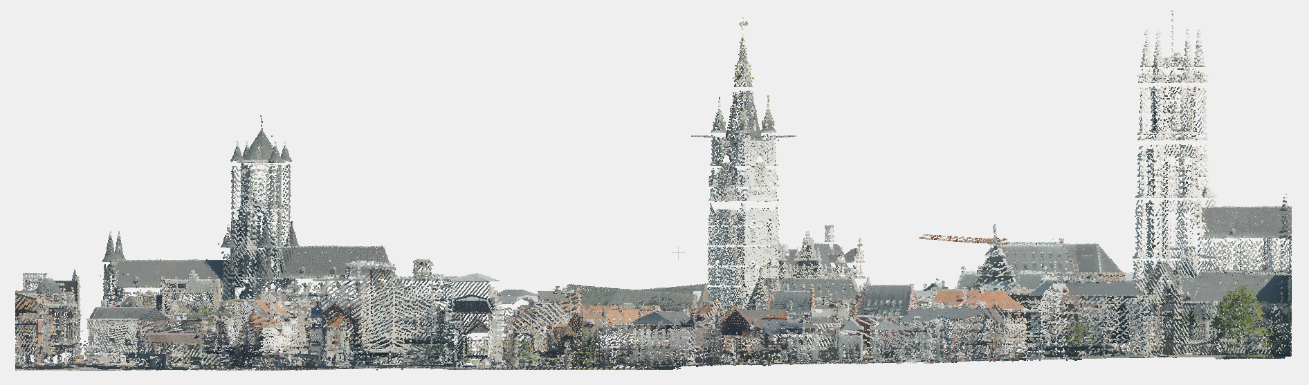
With advanced 3D Laser Scanning we map every detail of your surroundings with precision. This delivers high-quality 3D data that is perfectly suited for accurate analyses, spatial planning and further processing across a wide range of applications.
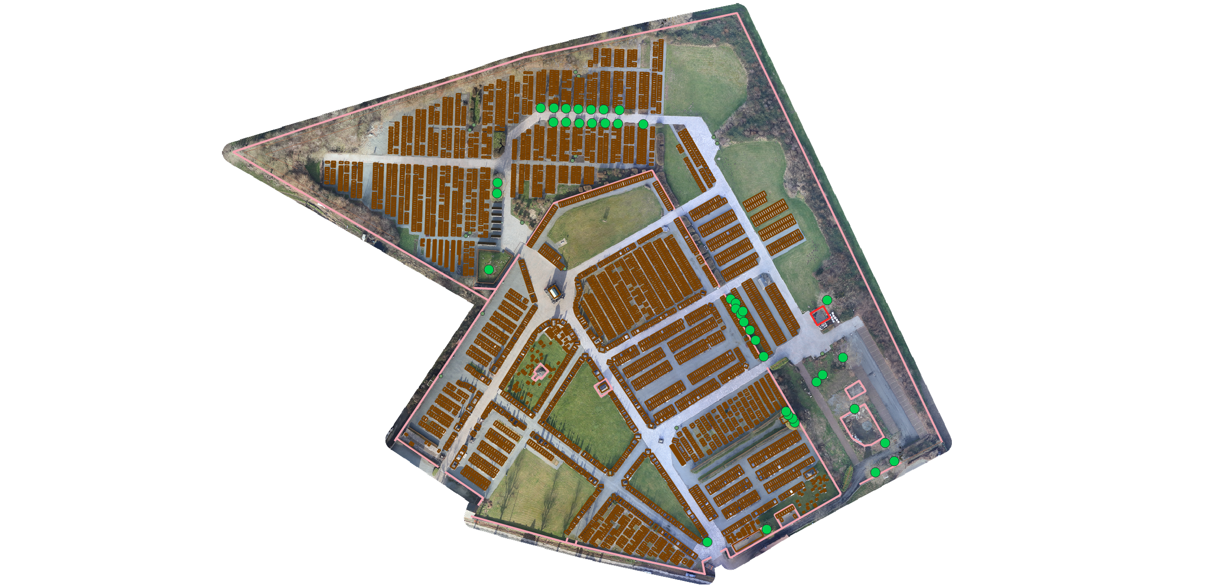
Geospatial inventories, accurate and immediately ready to use.
We deliver detailed, automatically georeferenced inventories with spatial measurements that complete your project. These are immediately ready to link with other data sources and offer possibilities for interactive dashboards.
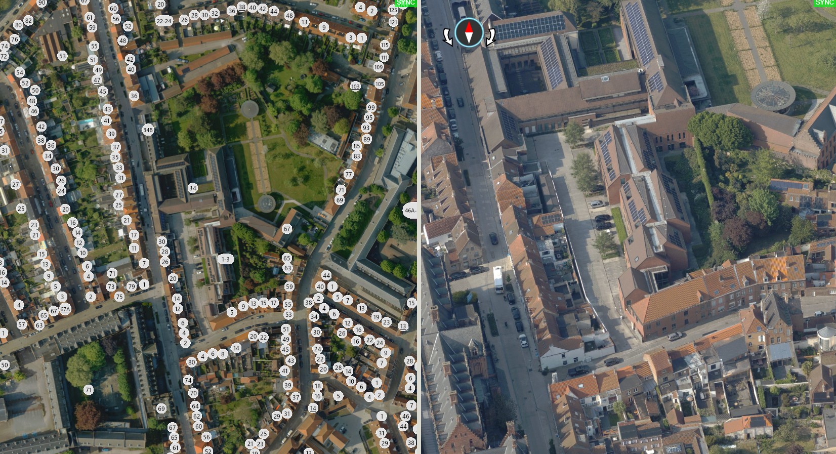
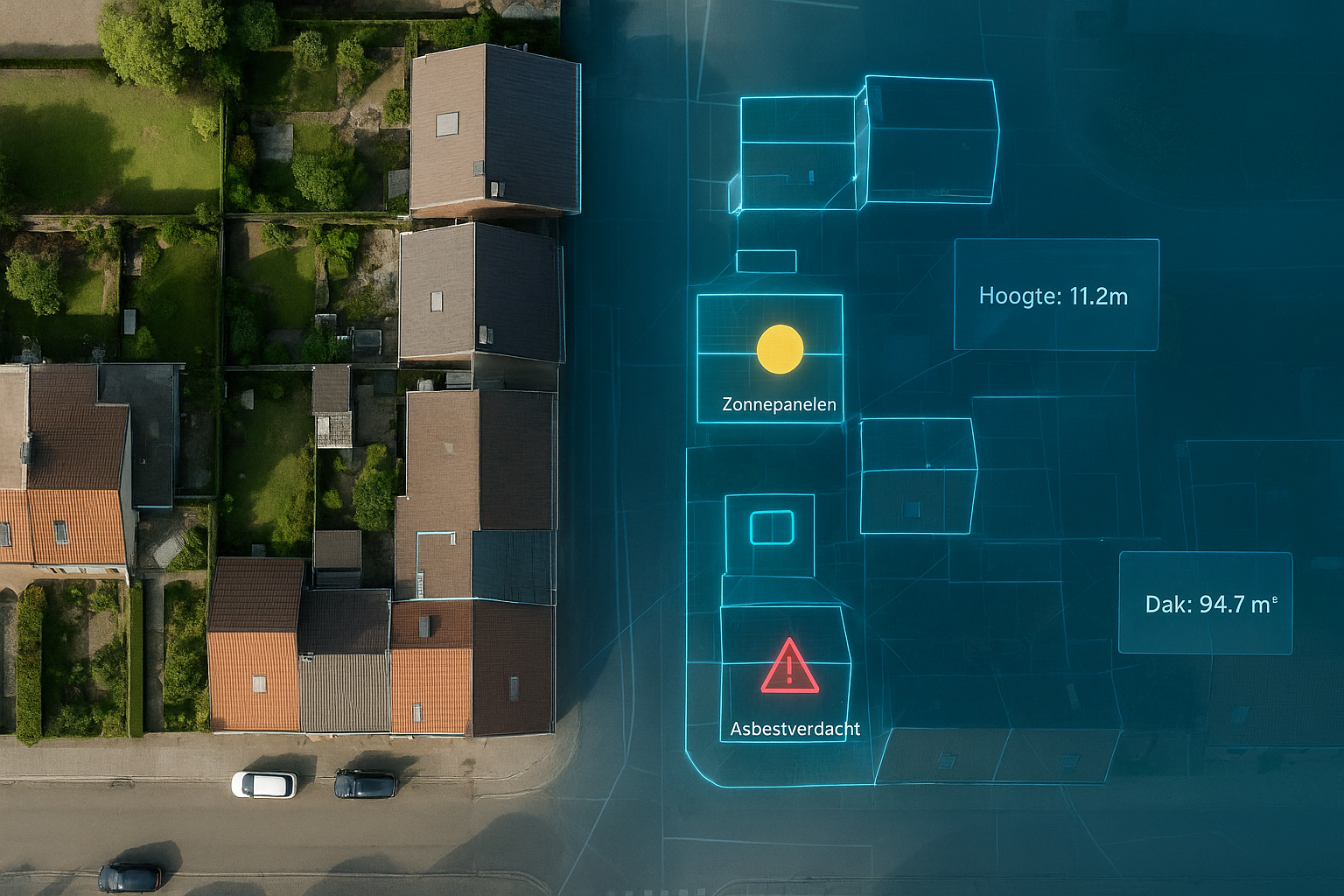
A complete picture of parcel and building data, enriched with our own data.
Our accurate LiDAR aerial surveys, combined with official map layers (GRB, PICC and URBIS), map buildings, rooftops and parcels across the whole of Belgium in detail. Using Artificial Intelligence (AI) we automatically add detected elements for one complete and up-to-date overview.