Curious about what Vansteelandt and Plan3D can do for your project?
In our product portfolio, Vansteelandt and Plan3D combine their expertise in land surveying, aerial survey, and geodata. Discover how we use LiDAR, orthophotos, 3D meshes, and digital twins to accurately map terrains, buildings, and infrastructure, making complex data usable for analysis, GIS integration, and decision-making.

Discover the product portfolio of Vansteelandt and Plan3D. From land surveying and aerial surveys to 3D models, LiDAR data, and digital twins: we accurately map the entire environment and translate it into actionable insights for analysis, planning, and management.
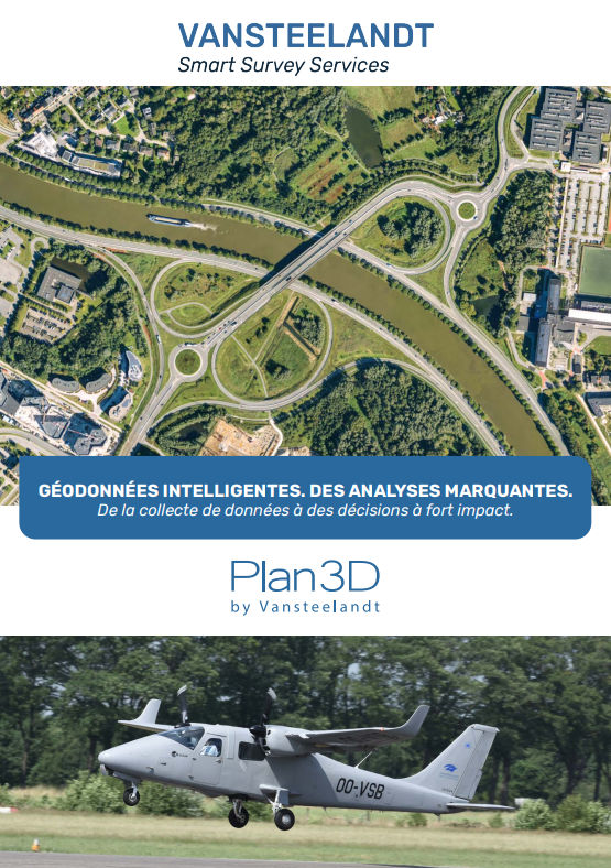
Discover the product portfolio of Vansteelandt and Plan3D. From topography and aerial surveys to 3D models, LiDAR data, and digital twins: we precisely map the entire environment and translate it into actionable insights for analysis, planning, and management.
Using our own aerial surveys, LiDAR technology, and 3D models, we map the built environment in detail. From precise terrain measurements and 3D laser scans to digital twins, orthophotos, and AI-driven datasets: our solutions provide a complete and up-to-date picture of your project.
Thanks to our user-friendly tools and web viewers, you can easily integrate this data into your existing workflows and GIS environments, without additional software. This way, we support governments, engineering firms, and businesses with analysis, planning, and informed decision-making.
Contact us